

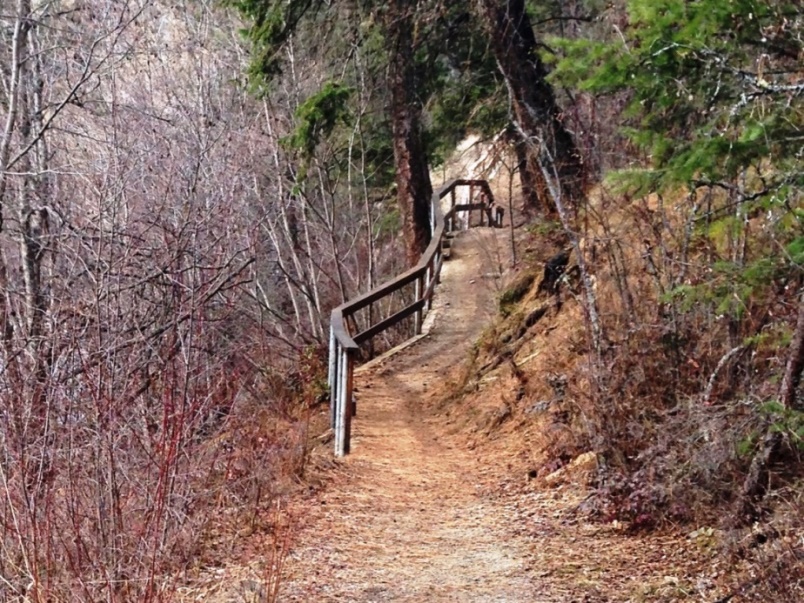
The Mission Creek Regional Park and Greenway is among Kelowna's most visited parks. It includes permanent trail-side artwork displays, info’ kiosks, a central educational center, numerous seating and picnic areas, public washrooms and five footbridge crossing points.
The 18km Greenway features not only a well-signed path running along the edge of Mission Creek, but also numerous singletrack sub-trail networks which exit, loop and reconnect with the main backbone trail.
Roughly described, the top of the Mission Creek Greenway trail begins at a point 250m east of the intersection of Field Rd. and McCulloch Rd. in a rural area southeast of the city of Kelowna. In reality, the trail network can be accessed from countless entry points along it’s length, but if you wish to see the trail end to end, running with the creek as it drops to the lake, then the McCulloch entry is where you'll wish to begin.
If instead, you seek to access the bottom of this route, the trailhead is located on Lakeshore Rd., 45 meters south of the Truswell Rd. intersection.
I discovered a rather interesting method of experiencing the entire trail. It involves parking near the bottom trailhead, then hopping on a bike and riding 2.2km north to KLO road. There I boarded the Route 12, McCulloch to Gallaghers transit at a bus-stop near the corner of KLO Rd. and Lakeshore Rd. - Kelowna transit buses are outfitted with bike racks. Route 12 takes one to a point only 900m shy of the top trailhead. I spent a leisurely two hours making my way back down to Okanagan lake, where many shops and services exist, as well as a pub and beach.
As of 2014, this chapter provides an up-to-date description of the trail, however, it is scheduled for future expansion; stay tuned for updates. Whichever way you chose to enjoy this creekside path, you can’t go wrong with directions, as it is laden with trail-markers, information kiosks and placards. It would in fact, be quite difficult to find oneself off-track.
Right off the top you have the option of veering toward a waterfall or continuing down a wide array of switchbacks. The waterfall is small but worth a visit. The first few kilometers drop quickly and three km. along you will find yourself with an option to ascend a two-track road or continue creek-side along singletrack; the singletrack is a dead-end, but worth investigating - I’ll leave it’s visual treasures a secret for you to discover.
The canyon itself is known as Gallaghers Canyon. It was part of an ancient river system that deposited multiple layers of sediment atop old lava beds, including what is now Layer Cake Hill. Mountain-building processes bent, folded and broke the rocks and erosion has shaped Gallaghers Canyon into its present state. I could detail the flora, fauna and history of this beautiful area, but countless information kiosks trailside do a much better job. Visit greenway.kelowna.bc.ca for more info’.
Vertical: 243m | Length: 18k | Water: Not Potable | Cell Access: Mostly