


G to the T ('Gin & Tonic') and Rustler offer riders of the Naramata Beer Run an optional escape route into the Three Blind Mice trail network. Click the map above to expand it.
There are various reasons that one might wish to use one of these brief connector trails, including not wanting to end up in Naramata Park at the end of the ride and concerns over the impending closure of the lower section of the Naramata Beer Run trail.
I tend to enjoy their use in order to mix the 'dropping' nature of the Beer Run with the fast and flowy trails of the Three Blind Mice. It also allows one a massive shuttle if you leave one drop vehicle at the Poplar Grove parking lot, and the other atop the Beer Run. Organized in this manner, one can enjoy more than 17k of amazing singletrack in one shot.
Both trails are being published here as one 'chapter' as they more or less do the same thing; connect the Beer Run with the Three Blind Mice. They are however, quite different in nature and trailhead location.
G to the T is accessed from a small open area adjacent to the intersection of Arawana FSR and Mt.Randolph FSR, while Rustler's trailhead is located deep in the forest, appearing as a left-hand junctioning trail as one progresses along the Beer Run.
To be more specific; approximately 3.6km from the top trailhead of the Naramata Beer Run, the Beer Run singletrack trail meets with the Arawana FSR. At this point, one needs to head left (south) along the FSR for a distance of approximately 200m.
There, a wide opening in the forest becomes apparent on your right (a spot locally known as '621'). The normal method of continuing along the Naramata Beer Run involves entering this clearing and progressing more or less strait through it along the Beer Run trail.
In order to locate the G to the T trailhead however, one must enter the aforementioned clearing and immediately turn off of the Beer Run trail and to their left. There, running off into the forest and dropping slightly, is the hidden entrance to G to the T.
The trailhead may be vague to nearly invisible, as few - aside from you my dear subscribers - know about this trail; but trust me, its there - Louise and I cleaned it pristinely in 2010. The singletrack soon becomes apparent and easy to follow, making it's way south, south-west for a distance of nearly 1.7km, changing to a dual-track trail near its terminus with the Arawana FSR. The massive old log ride on-route is way beyond its' best-before date and I'd advise giving it a 'miss'.
Once G to the T hits the FSR, hang a left and ride up Arawana FSR for a couple of dozen meters. Almost immediately you will see a two-track entrance on your right and a small yellow sign titled Cow's End on a nearby tree. Enter the Mice here. Consult the chapter titled 'Three Blind Mice' for detailed maps and trail descriptions of the Mice.
Rustler's trailhead is located 5.6km down from the top entrance of the Naramata Beer Run. It appears as a vague, left-hand junctioning trail at a point where the Naramata Beer Run meets a fence running at right angles to the Beer Run trail. This intersection features a wooden ramp assembly [over] the fence as well as an easy-out / go-around option. The Beer Run trail drops away to the west at this point, while the Rustler trail heads due south.
Follow Rustler for a distance of perhaps 600m. The path is generally flat, featuring only one short, substantial climb. You will soon meet an old two-track road; continue south along it until it meets Arawana FSR.
Once you hit the FSR, head up / left for a dozen meters, at which point you will see a cattle-guard in the road and a large clearing on your right. This is the 'Corral' entrance to the Three Blind Mice.
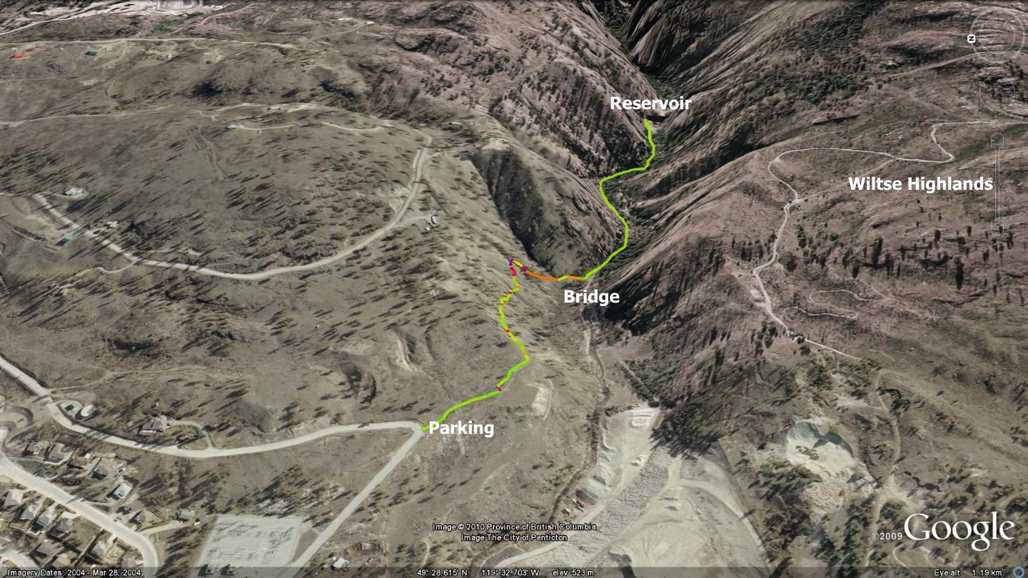
Getting there Make your way to the Naramata Beer Run (sometimes called the Arawana Beer Run by locals). Maps / GSP and Google Earth tracks are available on this website.
Low: 945m | High: 954m | Length: varies | Water: Not potable | Cell Access: Most areas