


The Mount Baldy Trail Network(s) Baldy Mountain Resort features one of the highest ski village elevations in BC, at 5,665 feet and is best known for its incredible powder skiing, family-friendly terrain, throwback style - and this year, jaw-droppingly low downhill ski-pass prices.
The area also features a number of amazing back-country ski and snowshoe trails on the mountain’s lower southeast and southwest slopes, along with a small xc-ski area, designed for the 1985 BC Winter Games, which interconnects with the aforementioned ski/shoe trails.
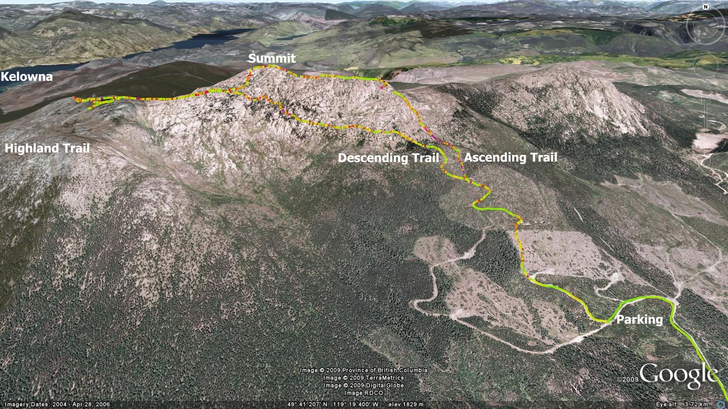
Baldy also sports an interesting back-country route, running from ski resort terrain (thus, out-of-bounds) down to McKinney road (the road used to access the mountain from Oliver). This route, known alternately as “High Country” or “South Ridge Road”, depending on who you talk to… caused me no lack of consternation; should I publish it, and point out an amazing out-of-bounds route, or will this simply burden both Baldy and Oliver Search & Rescue staff beyond what they already have on their hands?
Considering that Baldy Mountain Resort and Oliver SAR have dealt with seven search & rescue calls in the past two weeks (!) I chose to remove it from this presentation. If you are a seasoned veteran of the back-country, or a [truly well-prepared] back-country novice, send me an email and I’ll forward the GPS / Google Earth tracks for this route. Please review and heed the information on this REI site prior to heading out.
The two main grassroots trail networks on-mountain include:
1) Backcountry ski and snowshoe trails which hug the lower southeast and southwest slopes. These are accessed along the resort’s village roads, east and west of the residences. Download and scrutinize the Google Earth files in order to note their many access points.
2) Three XC-ski trail loops, constructed for the 1985 BC Winter Games. These lay 1.9km due south of the resort, along Baldy Ski Hill Rd., and are occasionally groomed, but not track-set. Many of these trails, and their porcupine-eaten signs, are in need of some TLC. Word is that 2017-2018 will see Baldy Resort resume maintenance and signage of this trail network - which has fallen by the wayside under past mountain ownership groups.
I’d suggest a day of downhill skiing/boarding, another of snow-shoeing/backcountry skiing and a visit to the village tavern to soak up some local hospitality.
As one who happily squandered many years of youth working at some of the largest ski resorts in Canada, including Whistler-Blackcomb, Big White and Apex, I’d still rate this family hill among my favorite places to spend a weekend (or longer, if you can swing it!)
I’d like to offer shout-outs to Sandra Smith (Baldy Blog) Paul Wickland and Graeme Giltrap for many trail tidbits and support in helping me to piece together the area’s trails.
Items of note:
- You'll see a wide variety of hand-made signage enroute throughout the area. It appears that ample enthusiasm for signage exists, which is great, but perhaps a wee modicum of synchronized appearance and trail-names might be in order going forward :-) I'm hearing whispers that an all-season trail strategy may be on the books in the near future...
- As of 2017, there exists excellent cell tower coverage throughout the area. This is a vast improvement over the past, where coverage was very hit and miss.