


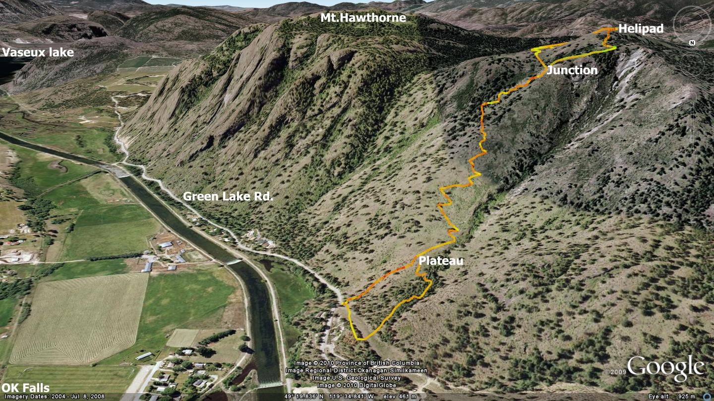
The Damage Case trail represents a component of a much larger series of trails which crisscross the Penticton First Nations trail network on the west side of Penticton / Trout Creek. This section of singletrack does not however, trespass onto First Nations lands, as per the policy of the South Okanagan Trail Alliance and SweetSingletrack.ca Click the link above to enlarge it.
Damage Case is so named in recognition of the ridiculous amount of dirt-bike related vertical hill-climbing that is occurring in this area. Mental midgets are throttle-cranking up and down the mountainside, without consideration to the centuries-long damage that they are inflicting upon the terrain.
In fact, one of my main goals in promoting this trail is the hope of flooding the area with non-motorized outdoor recreationalists, thus driving out the terrain-destroying fools who currently call it home. Strong words, I know, but folks who trash the land in this manner do not deserve our respect.
This short and sweet trail provides excellent vistas east across Okanagan Lake, and north over Summerland / Giant's Head Mt. The trail is fairly steep in points, especially the immediate bottom and uppermost sections - with a great deal of moderate-pitch meandering along well-established trails between these two points.
Note that the final push near the summit presents one with vague trail surface, mostly identifiable as dirt-bike tracks. This section could seriously use some TLC and switchbacks.
The descent follows a generally well-build 'DH' trail, which looks to have been built by a dirt or mountain-biker, as indicated by the many berms and jumps enroute. If you are a strong rider and not adverse to hike-a-bike, then you'll likely enjoy this section the most.
The trail ends immediately south of the point from which you set out near the Ag. Canada Research Stn. fencing, so making your way back to the trestle is easy.
You will need to employ a classic GPS device or a smartphone, with tracks downloaded from this website in order to locate the trail and navigate it successfully to the summit, then back down to your vehicle. At least for the time being - until I get in there again and install orange, retro-reflective trail-markers.
I'll be applying to the Crown to sign and sanction this trail at some point in the near future. Until then, grab a copy of our downloadable GPS / Google Earth tracks. Enjoy!
Getting there From the the intersection of Highway 97 and Johnson St., which is, in effect "downtown Trout Creek" - head west onto Johnson St. and follow it as the pavement ascends the hills. The road soon changes name to Gartrell Rd., which you'll continue to follow to its intersection with Happy Valley Rd.
Hang a left onto Happy Valley Rd. and follow it all the way to it's intersection with Canyon View Rd. on your left. Follow Canyon View to the KVR Steam Train station, located 150 meters beyond Summerland Sweets. Both are well marked and hard to miss.
Park at the KVR station and walk across the trestle. Once across, head right, along the visually evident singletrack which ascends the sandy bank to your right. Pull out your GPS / Smartphone from here on in, you'll likely need it.
Follow the trail to the Summerland Agricultural Research Station demonstration-field fencing, then along the fencing to it's first left-hand turn, where the fence heads south. Your trail-head is either the road on your right, or a singletrack a little to your left. The road is easier to locate for first time explorers, and it junctions with the singletrack soon anyway. Preview the downloadable Google Earth file on your computer in order to get your bearings before heading out.
Low: 468m. | High: 693m. | Length: Aprox. 4Km. | Water: none | Cell: Full